|
GPS devices allow you to collect location data that can be added to maps. How might you use it in your classroom with your students to collect geographical data? In what ways might you and your students use a Garmin to collect data during engineering design? How might it assist with identifying and defining a problem, prototype development, and prototype testing?
You may want to start by using the Garmin and GPS technologies for a classroom activity where students use the GPS devices to collect location data. You might need to facilitate an introductory activity to help students understand longitude and latitude coordinates and GPS technologies. |
|
|
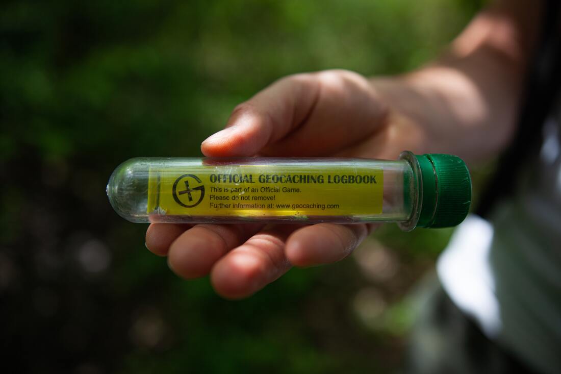
Geocaching
|
More GPS Games
|